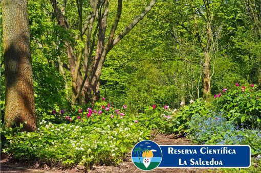
The Salcedoa Scientific Reserve was created with the purpose of guaranteeing the conservation of exclusive environments, the dynamics of the cloud forest and the abrupt relief of the highest karstic system in the national territory, located on the firm ground of Loma El Peñón del Nuevo Mundo, a place where the botanical species new to science Salcedoa miraliarum was discovered and has its natural habitat.
Whose distribution in the national territory is restricted to these mountainous foothills of the Cordillera Septentrional, currently highly threatened by the unsustainable practice of cattle ranching and other human activities that involve the displacement or elimination of the associated forest cover.
The La Salcedoa Scientific Reserve was declared as such by Decree No. 571-09. It has category I (Strict Protection Area) according to Law 202-04, which corresponds to category 1a (Strict Natural Reserve) of the IUCN.
It covers an area of 41.2 square kilometers in the northern part of the Hermanas Mirabal province (former Salcedo province), in the upper part of the Cordillera Septentrional. A strip of 300 meters surrounds it all around its perimeter.
The reserve is located north of the cities of Salcedo and Tenares and west of the Blanco Municipal District. It is found within the Subtropical Moist Forest (Bmh-S) life zone mainly, with some parts in the Subtropical Moist Forest (BhS). The reserve is located between 500 and 800 meters of elevation, exposed to the trade winds that blow from the northeast, so the presence of fog and low temperatures are frequent at higher latitudes.
The average annual temperature in the Scientific Reserve is between 22° and 25° C and the annual rainfall is between 1,000 and 1,700 mm. As you go up the Cordillera Septentrional, the temperature decreases slightly and the rainfall increases.
It was created with the purpose of protecting the original habitat of the Salcedoa miraliarum plant, an endemic species exclusive to this area. In addition, the La Salcedoa Scientific Reserve seeks to conserve the aquifer resources that are born there as a water-producing area, safeguard the lowest elevation cloud forest in the country and guarantee the conservation of the highest karstic system in the national territory.
The karstic system, located mainly in the central and northern parts of the reserve, is known as “Los Haitises” (not to be confused with Los Haitises in the national park of the same name located around Samaná Bay). “Haiti” is a Taíno word that means “mountainous terrain” and thus this karst system is characterized by its “mogotes” (small, steep hills with approximately the same elevation) with small valleys between them.
To experience beautiful moments and learn about more beautiful places in the country, click here!
How to get to The Salcedoa Scientific Reserve:
