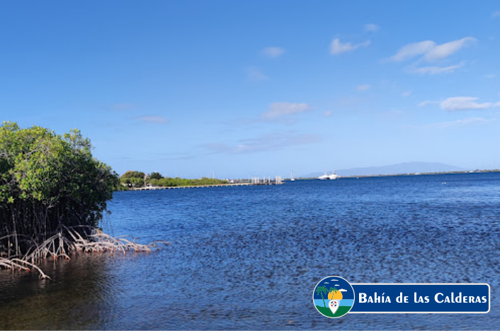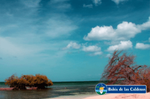
The Calderas Bay is a beautiful bay in the Caribbean Sea that is located in the south central part of the island of Hispaniola. Administratively, it is part of the Peravia province in the Valdesia Region of the Dominican Republic.
It is an interior bay formed by a peninsula of about 800 meters, being part of the Baní Dunes protected area and has an extension of about 41.7 kilometers, in this Bay are the Salinas Beach (where the salt mines are located), Los Corbanitos and the Las Calderas Naval Base of the Dominican Navy at coordinates 18°12’N 70°30’W.
It is a bay of great scientific interest due to bird watching and the varied biodiversity of the place, where more than 124 species of birds reside and serves as a refuge for coastal marine species. There has also been a report of more than five rare species in this area.

According to the Marine Biology Research Center (CIBIMA) of the Autonomous University of Santo Domingo, the immediate depth to the coast is abrupt, which allows the disposal of sediment loads on the shores. The peninsula is mostly covered by a saline lagoon called the Salado del Muerto, used for the production of salt.
The Calderas Bay was discovered in 1502. Christopher Columbus took refuge to protect himself from the passage of a tropical hurricane in 1502 where he called it Puerto Hermoso de los Españoles. During colonial times it was a port of protection. Due to its geographical position, it was a strategic point to repair or supply the few ships that transported troops and supplies in 1844.
In the Bay of Las Calderas there are the salt mines owned by the Municipal Council of Baní and the Naval Base of Las Calderas, the Naval Shipyard, the Nautical Club and the Astronomical Observatory of the Dominican Navy. Artisanal fishing is practiced in the Bay, the main activity of the inhabitants of the community of Salinas.
To find out about other interesting places in the Dominican Republic, follow us at visitadominicana.com
